Three River Trail
Location: Ribeira de Fráguas, Albergaria-a-Velha
Coordinates: 40.757434, -8.424828
Type of Route: In circuit
Distance: 14,5km
Time: 4h a 5h30
Difficulty: 8/10
In the county of Albergaria-a-Velha, district of Aveiro, we find an extremely beautiful and diverse trail, the three river trail.
The trail, which extends for about 14.5 km in circuit, follows, as its name indicates, three rivers: the Caima River (Rio Caima, born in Serra da Freita), the Little River (Pequeno Rio) and the Fílveda River (Rio Fílveda, you can consult the brochure of the route here).
The route was recently, in the middle of 2020, reopened after some well-deserved arrangements and, knowing the beauty of this route, we had to go through it.
To start the journey we left the car at Vilarinho de São Roque. A problem here is the fact that there is no parking - there is a wide street that allows you to leave your car, but not a defined parking space.
Leaving the car on the main road, we see two signs for the route: one indicates “Center for Radical and Environmental Activities of Vilarinho de S. Roque” and follows a road uphill, the other indicates the Chapel through a downhill road.
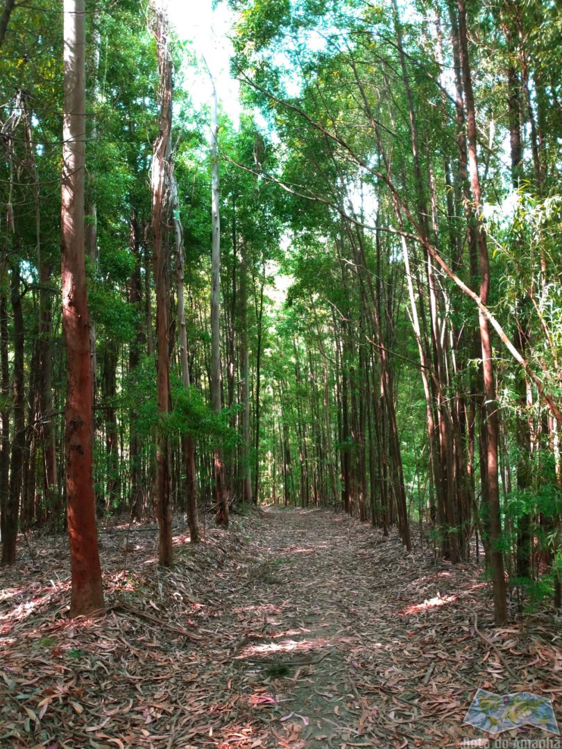
We chose to follow the indication on the information leaflet and start with the climb - and thankfully we did. This is because the route, both for its length and the type of terrain, is quite complicated and tiring. And the most difficult moment is right from the start: the first 2 km of the route, in addition to always being uphill, are also covered in the middle of the pine forest, being extremely tiring.
During this initial part there is a possible detour to visit Cabeço dos Mouros. However, knowing what we still had ahead of us, and since it was still a long detour, we chose not to visit it.
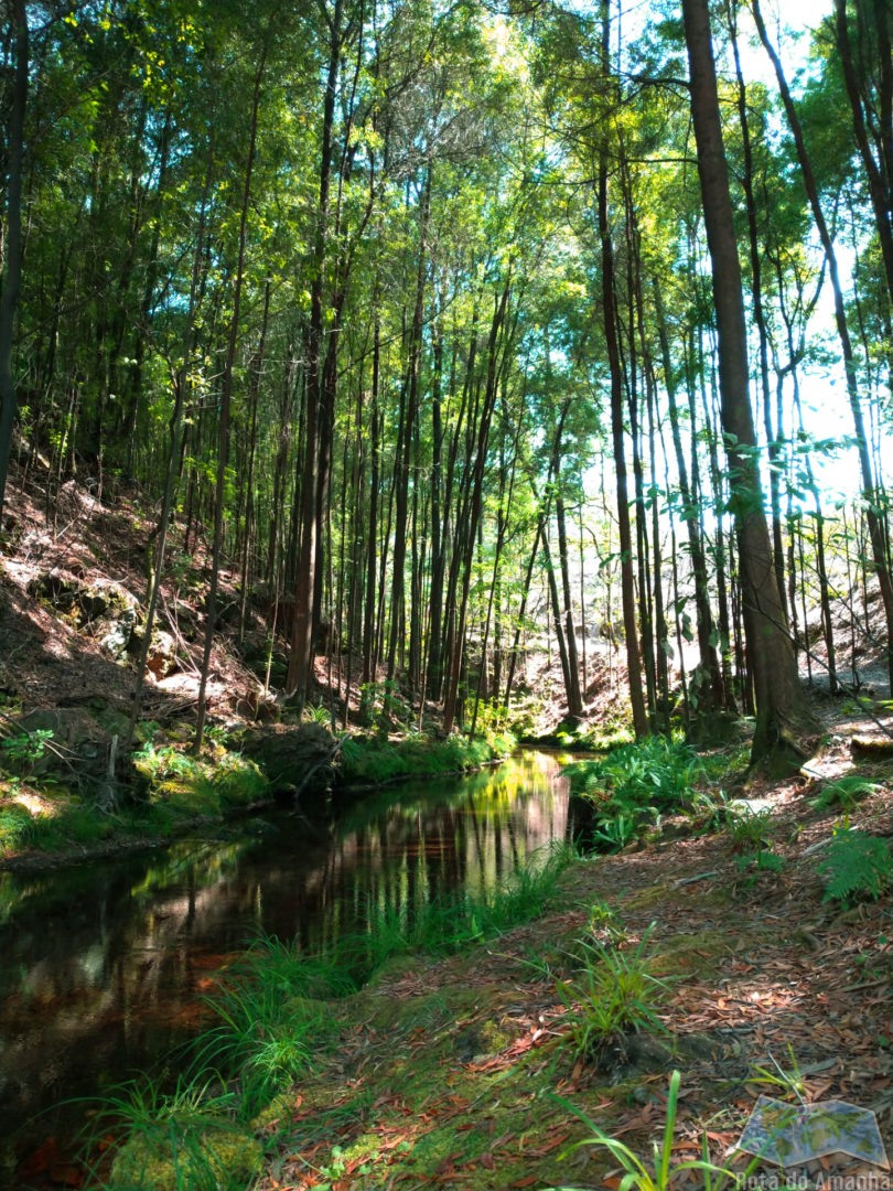
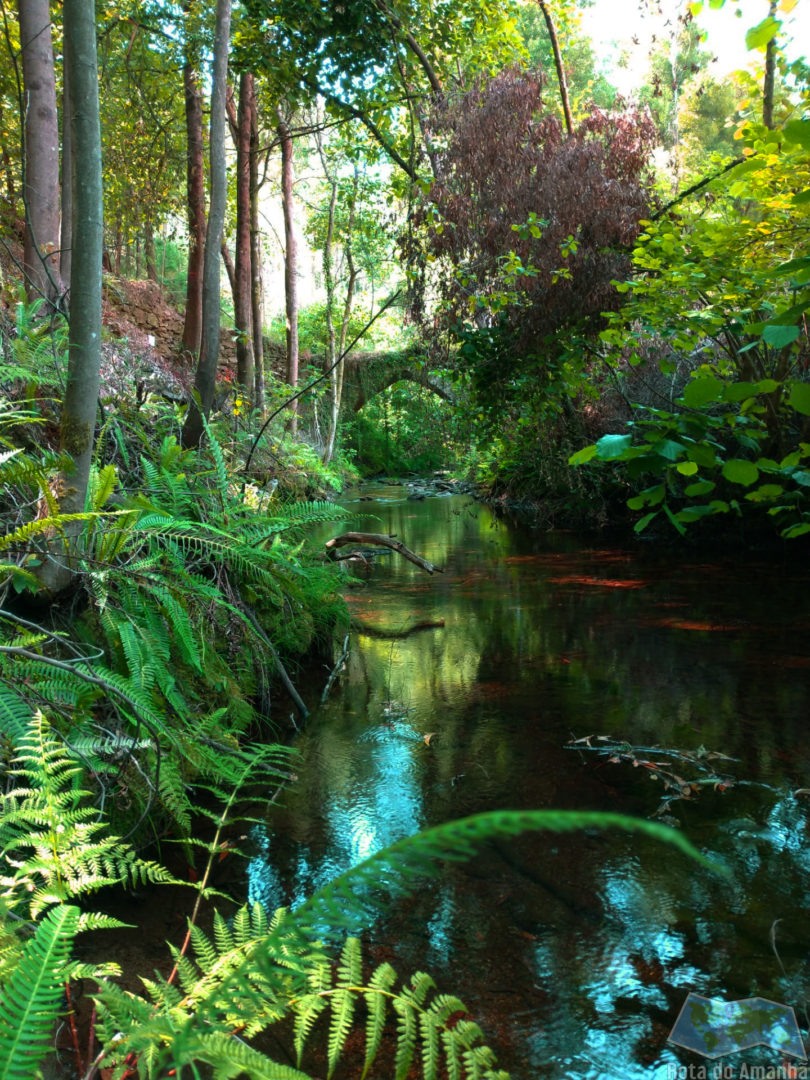
The path through the pine forest continues until you see a bridge: The Oil Press bridge (Ponte do Lagar do Azeite).
Here, easily, a distracted person passes the continuation of the route. After seeing the bridge, you cross over it and, immediately afterwards, on the left there are stairs through the grove that leads to the bottom of the bridge - it is through these stairs that you have to follow.
This distraction can, and almost happened to us, since, although there are arrows indicating that the path continues downwards, at times when the grove is higher, the stairs pass discreetly in the landscape.
So we continue along the Little River (Rio Pequeno), leaving the bridge that no longer used in the 20th century behind us.
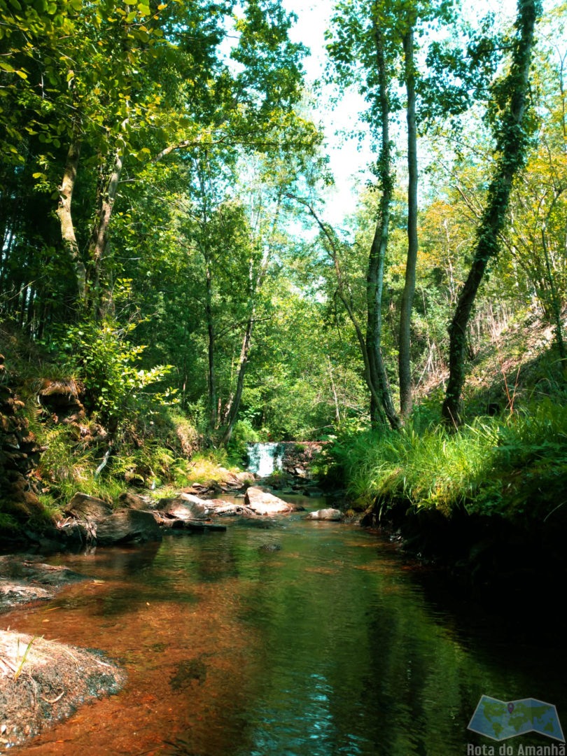
The trail thus follows paths along the rivers that appear to have little of the hand of man. There are also some moments when you can go down to the river and get some rest, which we recommend.
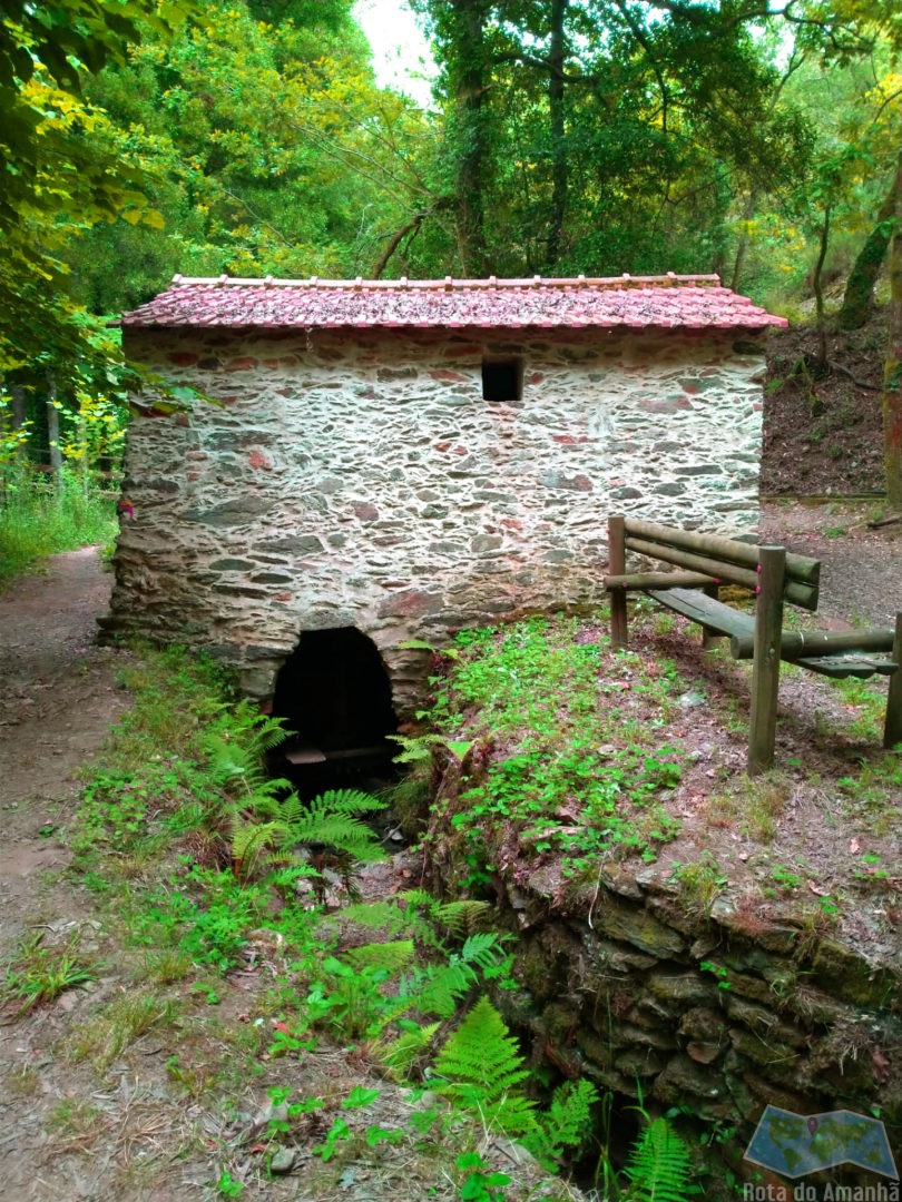
Following the trail, you will pass several windmills, some in operation, others inactive, as well as another old bridge, Ponte Negra. In these moments you cross the village of Telhadela and, taking the Caima River, you pass next to Nobrijo.
Some parts of the route are made in pine forest, others by the river and others on agricultural land, very close to the villages, thus having a great diversity.
We keep going along one of the three rivers and, more towards the end, we start to enter the village again, in this case in Ribeira de Fráguas.
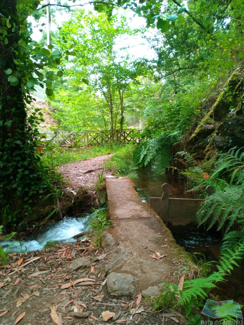
Following agricultural fields and some roads, passing by a fountain, pass in front of the Ribeira de Fráguas church and the Cemetery. Right after, the path continues through a cut to the right (which almost looks like we are entering someone's garden). But, if you want to rest a little, before making that cut, a few meters ahead, there is a cafe, where we chose to stop.
Returning to the route, we follow a narrow pedestrian path that follows the wall of the cemetery and again we move away from the village, once again through agricultural paths.
This part will lead to one of the most beautiful moments: a park of mills. In addition to the incredible scenery, this park is also full of wooden bridges and stairs (where the trail passes), which give a very beautiful touch to the landscape.
At the end of the park, you go up some high stairs and enter the final part of the route: again by a river, along paths made by nature and by man (as is the case of the Açude dos Ingleses), we arrive at the chapel and , going up the final part of the route, we return to the starting point.
Despite being a very beautiful route, as you can see from the photos, you also need to be aware that much of the route, despite being almost always next to the river, is done in pine forest or on dirt tracks, often for km . In addition, it is a long route with many climbs, thus requiring greater physical preparation.
That said, it is a route that is completely worth the effort, offering for almost 15km, wonderful and super varied landscapes.
more to see
Outros trilhos

