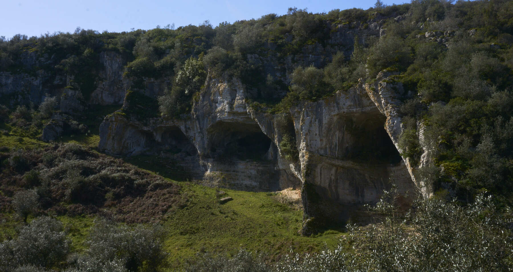
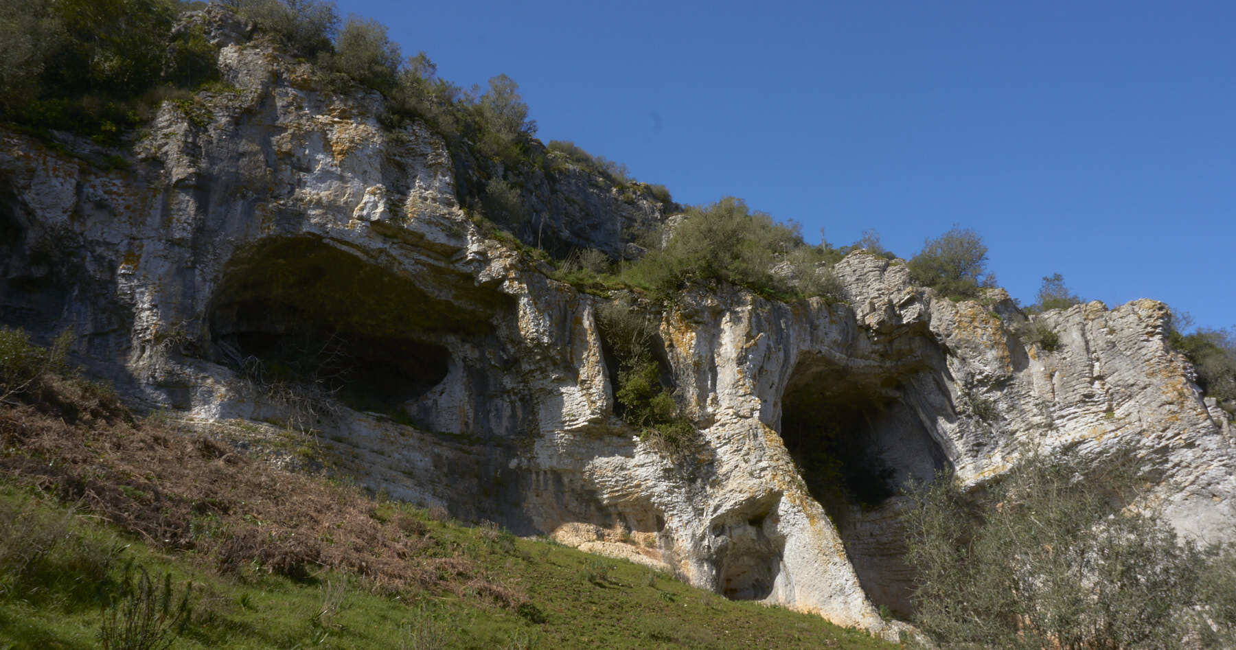
The Sicó Hills is home to one of Portugal's most imposing natural settings: the Buracas do Casmilo. As the name suggests, they consist of large openings in the limestone rock, giving rise to a valley with breathtaking scenery.
There are several holes in this area: some are smaller and you can't even enter them, while others are larger and more imposing, reaching ten meters in diameter and five meters deep. At the same time, some holes are easily accessible, while others are high up and can only be visited by climbing.
To get to know this incredible scenery, you have two different options: you can choose to visit the 'Buracas' directly or take a trail through the surrounding area.
If you just want to visit the Buracas do Casmilo, the access is quite simple and easy to access. Head to the village of Casmilo and park next to the Picnic Park / Sports Area - there's plenty of parking. From here, you'll have to walk along a well-signposted dirt track for about 1km to the long-awaited scenery. During our visit, we even saw people taking their cars to the Buracas. Although this is possible, we don't recommend it - the road has a steep gradient and is all loose stone, making driving difficult and potentially damaging the car.
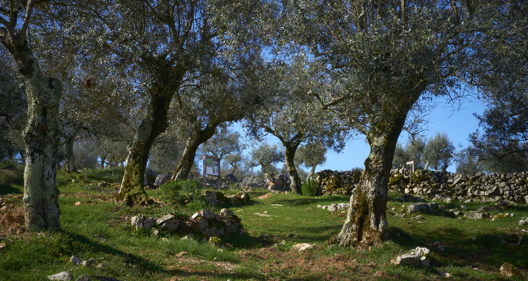
Buracas do Casmilo Trail
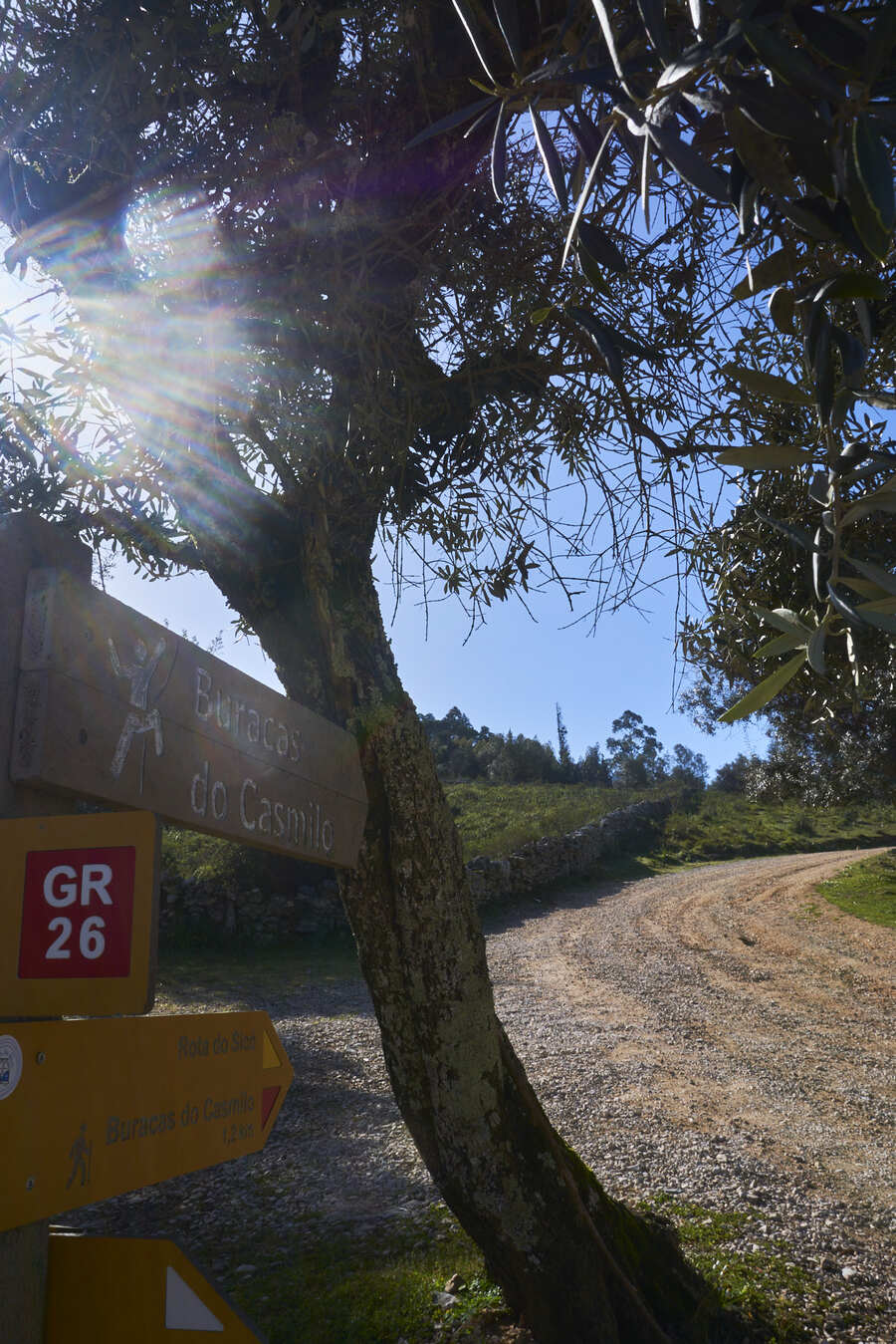
If, like us, you want to get to know this region a little more, we recommend a trail (not signposted) that takes you through a very interesting area completely surrounded by nature: P2 - Nas Buracas do Casmilo, with a 6.42km loop. We found out about this trail from Wikiloc, where we recommend downloading the GPS coordinates so you can follow the trail (you can consult the trail link here).
As mentioned, this is an unmarked trail. In our case, we used the GPX Viewer app, available in the app store. At no point on the route did we lose reception or the GPS signal, but we always recommend that, for more isolated areas, you opt for an independent GPS device. We also print out a satellite map to make it easier to see the route. As this is an unmarked trail, we always recommend taking extra care and preparation.
In addition, be aware that during this route there are signs of a signposted trail, the PR2 CDN, but this is a 23.5 km circular trail, so don't be led astray by these indications - the trail we did and recommend often goes through areas without any indication. Always keep an eye on your GPS or map.
The trail starts from the area where you leave your car. It follows the same road that gives access to Buracas. Here, before you get there, you'll have to choose which way to go: left and leave Buracas for last, or right and start at the main point of the trail. In our case, we opted for the right and that's exactly the direction we recommend.
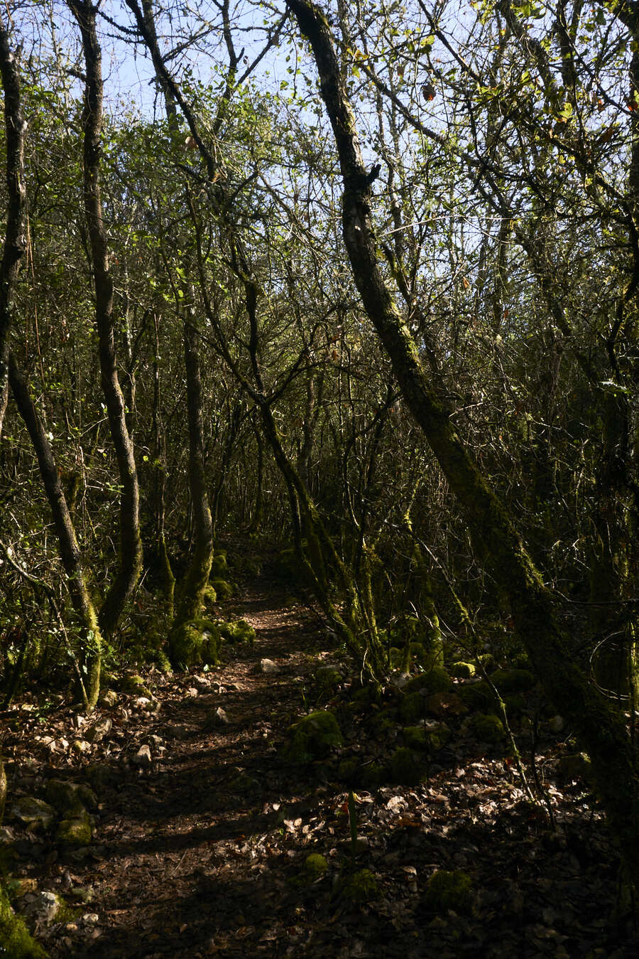
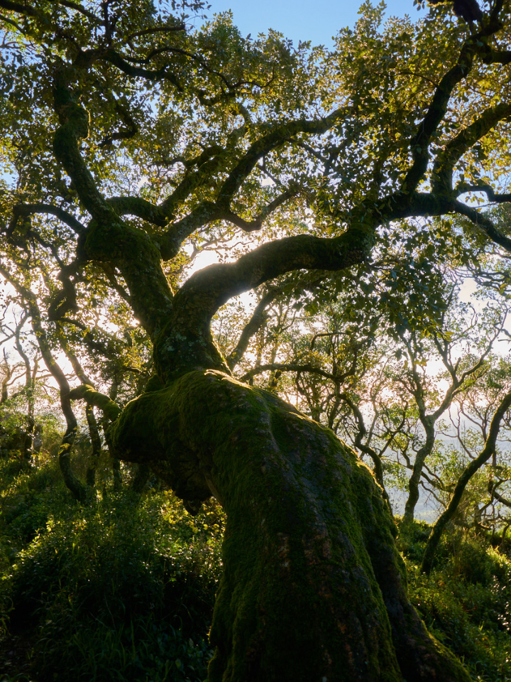
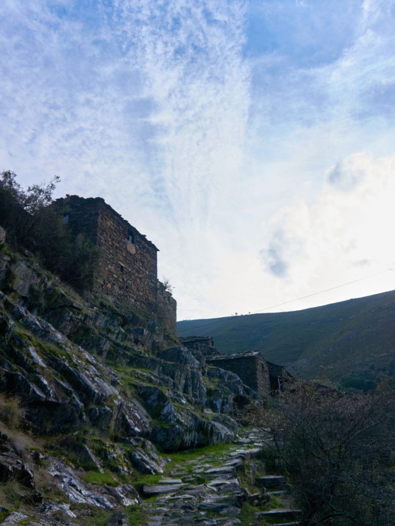
Following a small path, the trail quickly tapers off and rocks appear. Once past this part (where you have to be very careful, as the area is slippery), our favorite part of the trail comes into view: a small trail between rocky paths and forest paths completely filled with nature.
From here we follow an old dirt track which we follow almost to the end of the trail. In this part of the trail there is a big climb which, for 2 km, rises about 200 meters in altitude, and is also the most physically tiring part of the trail. However, when you reach the top of the climb, you have a beautiful view over the Covões Valley.
For most of this trail, the Buracas do Casmilo are hidden among the vegetation, making the revelation that follows even more spectacular.
Starting the descent, we head towards the main point which, without being announced, suddenly appears right in front of us through the vegetation: the Buracas do Casmilo. We recommend that you always explore the Buracas safely: some of them are unreachable, but the vast majority are easily visited if you take the necessary precautions.
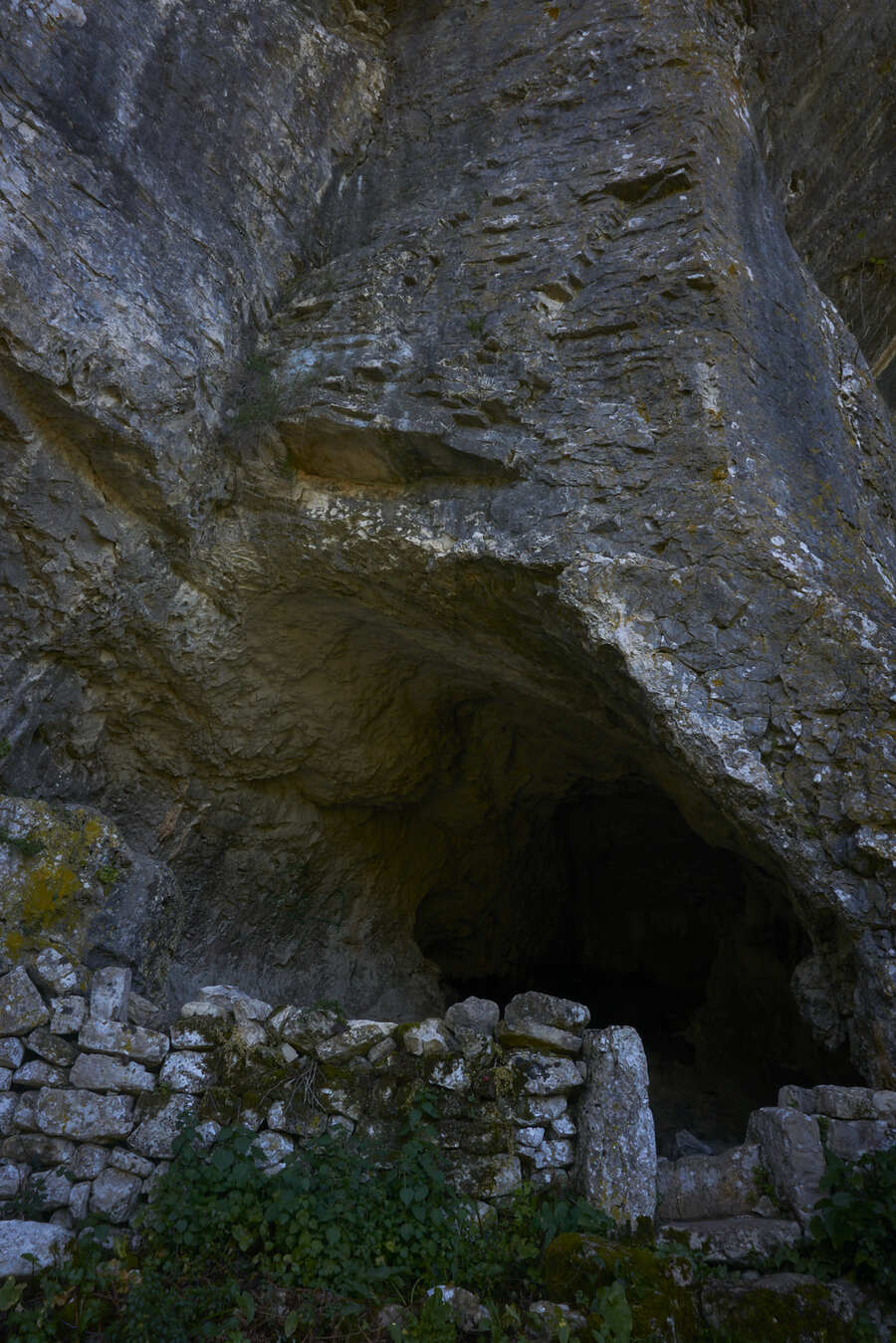
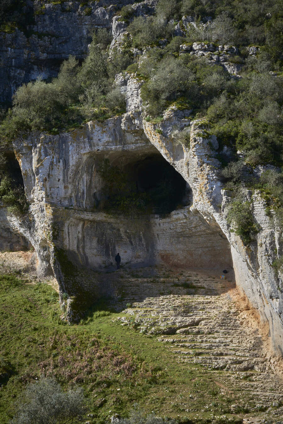
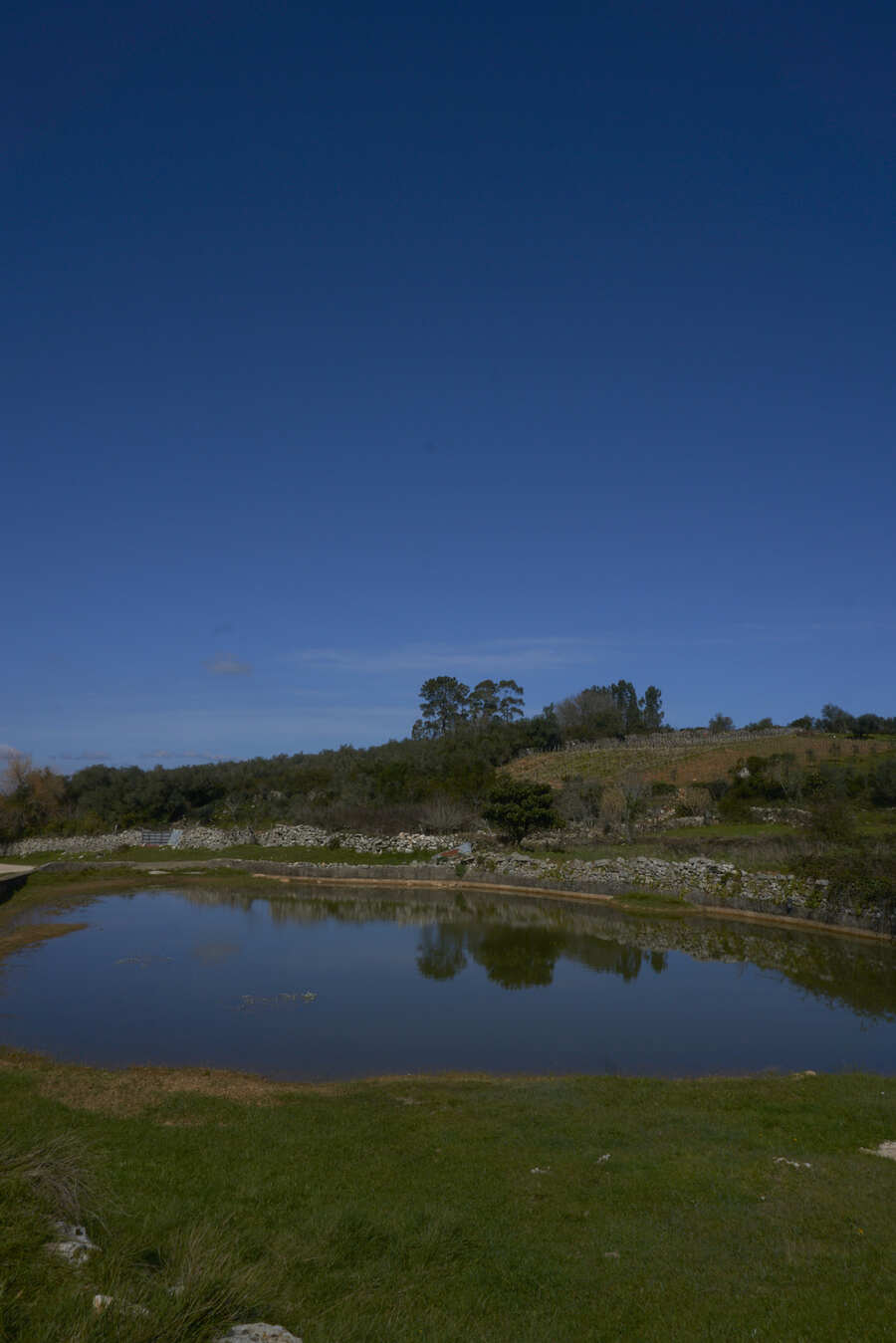
Returning to the trail, we head towards the main path back to the picnic area. Here there is a small path on the right, flanked by a wall, which takes us along an alternative road. This is another part of the route that we found equally beautiful: despite being a more common landscape, surrounded by farmland, the light-colored loose stone walls make the scenery magical. During this part of the route, the so-called Dolina do Casmilo appears, a natural depression in the ground used to store water in this very dry region.
Following the main path, we return to the picnic area where the car is parked and we finish the trail.
For this particular trail, we always recommend setting aside about 2h30 to take your time and explore the Buracas. In addition, avoid this trail on rainy days or in the early hours of very cold days, as the rocks will be slippery, which detracts from the experience.
We consider the difficulty of this trail to be easy-medium, requiring greater care on the rocky sections and more stamina on the uphill sections.
more to see
